
![Uncompahgre National Forest Plateau Division, Colorado [Map] National Forest Service Rocky Mountain Region](https://musicelle.com/wp-content/uploads/2023/02/31b6WGvR-L.jpg)
![Uncompahgre National Forest Plateau Division, Colorado [Map] National Forest Service Rocky Mountain Region - Image 2](https://musicelle.com/wp-content/uploads/2023/02/31WLtoklpL.jpg)
![Uncompahgre National Forest Plateau Division, Colorado [Map] National Forest Service Rocky Mountain Region](https://musicelle.com/wp-content/uploads/2023/02/31b6WGvR-L-100x100.jpg)
![Uncompahgre National Forest Plateau Division, Colorado [Map] National Forest Service Rocky Mountain Region - Image 2](https://musicelle.com/wp-content/uploads/2023/02/31WLtoklpL-100x100.jpg)
Uncompahgre National Forest Plateau Division, Colorado [Map] National Forest Service Rocky Mountain Region
$34.68
1 in stock
Description
The Uncompahgre Plateau, located in western Colorado, was established as part of the Uncompahgre Forest Reserve by President Theodore Roosevelt’s proclamation of June 14, 1905. “Uncompahgre” is a Ute work describing “Rocks that make Water Red.” The Plateau itself is a long, narrow geologic uplift formation bordered on the east by the wide valleys of the Gunnison and Uncompahgre rivers and on the west by the narrow gorges of the Dolores and San Miguel rivers. Starting from an elevation of about 4600 feet, it rises to just under 10,000 feet.
- Year – 2016
- Scale – 1″ to the Mile (1:63,360)
- Topo Lines – No
- Shaded Relief – Yes
- Plastic
- Region 2
FEATURES
- Year – 2016
- Scale – 1″ to the Mile (1:63,360)
- Topo Lines – No
- Shaded Relief – Yes
- Plastic
Related products
-
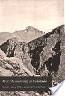
Mountaineering in Colorado: The Peaks about Estes Park Chapin, Frederick H. and Pickering, James H.
$12.02 Add to cart -
![PUEBLO INDIAN POTTERY Materials, Tools, and Techniques [Paperback] Lambert, Marjorie F.](https://musicelle.com/wp-content/uploads/2022/10/71GFuNBKleL-324x324.jpg)
PUEBLO INDIAN POTTERY Materials, Tools, and Techniques [Paperback] Lambert, Marjorie F.
$10.94 Add to cart -
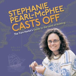
Stephanie Pearl-McPhee Casts Off: The Yarn Harlot’s Guide to the Land of Knitting Pearl-McPhee, Stephanie
$33.28 Add to cart
![Uncompahgre National Forest Plateau Division, Colorado [Map] National Forest Service Rocky Mountain Region](https://musicelle.com/wp-content/uploads/2023/02/31b6WGvR-L-177x324.jpg)
Reviews
There are no reviews yet.